|
|
| (4 intermediate revisions by the same user not shown) |
| Line 1: |
Line 1: |
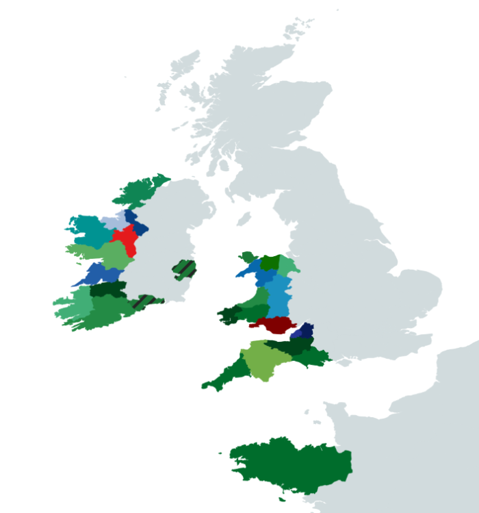
| | | {{#tag:imagemap|File:Map of Cork Counties.png{{!}}{{{width|700px}}}{{!}}{{{align|center}}}{{!}} |
| <img src="image_2024-04-12_193956227.png" usemap="#image-map">
| | poly 188 443 198 457 218 454 242 443 238 437 220 432 203 434 203 442 [[County Waterford]] |
| | | poly 199 460 184 436 171 438 162 432 154 433 150 437 138 437 132 440 136 454 130 465 115 470 106 475 95 471 86 479 101 493 162 488 189 472 200 469 [[County Cork]] |
| <map name="image-map">
| | poly 91 473 72 458 77 437 105 427 118 419 131 420 132 440 135 452 129 463 116 470 104 474 [[County Kerry]] |
| <area target="" alt="waterford" title="waterford" href="" coords="188,443,198,457,218,454,242,443,238,437,220,432,203,434,203,442" shape="poly">
| | poly 133 421 161 415 174 410 185 414 184 425 176 427 186 434 171 438 159 432 149 437 140 434 132 439 [[County Limerick]] |
| <area target="" alt="cork" title="cork" href="" coords="199,460,184,436,171,438,162,432,154,433,150,437,138,437,132,440,136,454,130,465,115,470,106,475,95,471,86,479,101,493,162,488,189,472,200,469" shape="poly">
| | poly 258 406 251 395 264 380 282 382 292 398 287 411 262 415 [[Wicklow Autonomous Zone]] |
| <area target="" alt="kerry" title="kerry" href="" coords="91,473,72,458,77,437,105,427,118,419,131,420,132,440,135,452,129,463,116,470,104,474" shape="poly">
| | poly 107 424 98 408 135 383 146 386 155 395 167 392 182 398 175 405 158 414 150 412 133 419 [[County Clare]] |
| <area target="" alt="Limerick" title="Limerick" href="" coords="133,421,161,415,174,410,185,414,184,425,176,427,186,434,171,438,159,432,149,437,140,434,132,439" shape="poly">
| | poly 148 386 126 382 121 391 88 367 108 357 142 366 154 355 175 354 185 367 197 379 183 398 166 390 154 395 [[County Galway]] |
| <area target="" alt="wicklow" title="wicklow" href="" coords="258,406,251,395,264,380,282,382,292,398,287,411,262,415" shape="poly">
| | poly 195 377 201 373 195 361 202 351 194 344 195 330 181 337 169 338 165 352 177 356 [[County Roscommon]] |
| <area target="" alt="clare" title="clare" href="" coords="107,424,98,408,135,383,146,386,155,395,167,392,182,398,175,405,158,414,150,412,133,419" shape="poly">
| | poly 140 365 108 357 91 338 100 317 131 312 146 317 147 328 154 327 154 333 161 337 171 335 164 351 153 356 [[County Mayo]] |
| <area target="" alt="galway" title="galway" href="" coords="148,386,126,382,121,391,88,367,108,357,142,366,154,355,175,354,185,367,197,379,183,398,166,390,154,395" shape="poly">
| | poly 202 345 193 330 182 316 186 308 200 317 219 336 213 344 [[County Leitrim]] |
| <area target="" alt="roscommon" title="roscommon" href="" coords="195,377,201,373,195,361,202,351,194,344,195,330,181,337,169,338,165,352,177,356" shape="poly">
| | poly 146 324 183 310 183 317 190 330 171 337 155 334 [[County Sligo]] |
| <area target="" alt="mayo" title="mayo" href="" coords="140,365,108,357,91,338,100,317,131,312,146,317,147,328,154,327,154,333,161,337,171,335,164,351,153,356" shape="poly">
| | poly 189 307 156 302 196 244 258 245 252 263 235 275 220 294 208 306 194 310 [[County Donegal]] |
| <area target="" alt="sligo" title="sligo" href="" coords="202,345,193,330,182,316,186,308,200,317,219,336,213,344" shape="poly">
| | poly 423 747 303 669 361 635 437 634 478 648 501 664 515 663 518 696 511 710 470 716 465 728 448 732 [[Brittany]] |
| <area target="" alt="i forgot" title="i forgot" href="" coords="146,324,183,310,183,317,190,330,171,337,155,334" shape="poly">
| | poly 318 582 288 572 358 521 362 533 367 547 370 556 344 566 [[Cornwall]] |
| <area target="" alt="donegal" title="donegal" href="" coords="189,307,156,302,196,244,258,245,252,263,235,275,220,294,208,306,194,310" shape="poly">
| | poly 369 551 378 560 396 567 430 533 429 524 418 518 397 511 388 504 393 495 350 514 358 523 [[Devon]] |
| <area target="" alt="brittany" title="brittany" href="" coords="423,747,303,669,361,635,437,634,478,648,501,664,515,663,518,696,511,710,470,716,465,728,448,732" shape="poly">
| | poly 393 501 429 498 442 496 458 496 459 511 452 518 443 522 426 523 410 515 397 513 [[Somerset]] |
| <area target="" alt="cornwall" title="cornwall" href="" coords="318,582,288,572,358,521,362,533,367,547,370,556,344,566" shape="poly">
| | poly 426 496 439 485 445 492 438 497 [[North Somerset]] |
| <area target="" alt="devon" title="devon" href="" coords="369,551,378,560,396,567,430,533,429,524,418,518,397,511,388,504,393,495,350,514,358,523" shape="poly">
| | poly 442 484 449 473 460 478 460 493 447 494 [[Gloucestershire]] |
| <area target="" alt="somserset" title="somserset" href="" coords="393,501,429,498,442,496,458,496,459,511,452,518,443,522,426,523,410,515,397,513" shape="poly">
| | poly 428 523 449 518 460 509 471 514 483 517 488 533 482 546 450 547 431 531 [[Dorset]] |
| <area target="" alt="north somerset" title="north somerset" href="" coords="426,496,439,485,445,492,438,497" shape="poly">
| | poly 328 480 315 462 333 445 350 451 356 456 346 462 348 470 346 478 [[Pembrokeshire]] |
| <area target="" alt="glouchestershire" title="glouchestershire" href="" coords="442,484,449,473,460,478,460,493,447,494" shape="poly">
| | poly 351 451 377 451 396 450 391 468 375 472 353 474 344 460 [[Carmarthenshire]] |
| <area target="" alt="dorset" title="dorset" href="" coords="428,523,449,518,460,509,471,514,483,517,488,533,482,546,450,547,431,531" shape="poly">
| | poly 374 473 388 469 408 463 429 469 436 477 421 493 397 489 387 480 361 485 [[Cardiff]] |
| <area target="" alt="pembrokshire" title="pembrokshire" href="" coords="328,480,315,462,333,445,350,451,356,456,346,462,348,470,346,478" shape="poly">
| | poly 392 466 393 445 395 433 387 421 399 413 408 405 417 411 428 411 430 422 429 439 427 461 424 467 408 462 [[Powys]] |
| <area target="" alt="Carmarthenshire" title="Carmarthenshire" href="" coords="351,451,377,451,396,450,391,468,375,472,353,474,344,460" shape="poly">
| | poly 378 422 373 402 349 410 360 392 377 382 384 386 389 395 406 395 407 407 384 421 [[Gwynedd]] |
| <area target="" alt="cardiff" title="cardiff" href="" coords="374,473,388,469,408,463,429,469,436,477,421,493,397,489,387,480,361,485" shape="poly">
| | poly 385 382 389 395 407 395 412 375 391 375 [[Conwy]] |
| <area target="" alt="powys" title="powys" href="" coords="392,466,393,445,395,433,387,421,399,413,408,405,417,411,428,411,430,422,429,439,427,461,424,467,408,462" shape="poly">
| | poly 412 375 407 399 421 409 443 400 427 379 [[North East Wales]] |
| <area target="" alt="Gwynedd" title="Gwynedd" href="" coords="378,422,373,402,349,410,360,392,377,382,384,386,389,395,406,395,407,407,384,421" shape="poly">
| | poly 364 388 345 378 363 364 384 375 377 383 [[Anglesey]] |
| <area target="" alt="conwy" title="conwy" href="" coords="385,382,389,395,407,395,412,375,391,375" shape="poly">
| | }} |
| <area target="" alt="north east wales" title="north east wales" href="" coords="412,375,407,399,421,409,443,400,427,379" shape="poly">
| |
| <area target="" alt="Anglesey" title="Anglesey" href="" coords="364,388,345,378,363,364,384,375,377,383" shape="poly">
| |
| </map>
| |