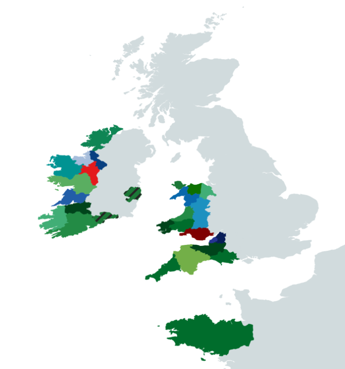
Template:Cork ImageMap: Difference between revisions
Jump to navigation
Jump to search
No edit summary |
No edit summary |
||
| Line 4: | Line 4: | ||
poly 91 473 72 458 77 437 105 427 118 419 131 420 132 440 135 452 129 463 116 470 104 474 [[County Kerry]] | poly 91 473 72 458 77 437 105 427 118 419 131 420 132 440 135 452 129 463 116 470 104 474 [[County Kerry]] | ||
poly 133 421 161 415 174 410 185 414 184 425 176 427 186 434 171 438 159 432 149 437 140 434 132 439 [[County Limerick]] | poly 133 421 161 415 174 410 185 414 184 425 176 427 186 434 171 438 159 432 149 437 140 434 132 439 [[County Limerick]] | ||
poly 258 406 251 395 264 380 282 382 292 398 287 411 262 415 [[ | poly 258 406 251 395 264 380 282 382 292 398 287 411 262 415 [[Wicklow Autonomous Zone]] | ||
poly 107 424 98 408 135 383 146 386 155 395 167 392 182 398 175 405 158 414 150 412 133 419 [[County Clare]] | poly 107 424 98 408 135 383 146 386 155 395 167 392 182 398 175 405 158 414 150 412 133 419 [[County Clare]] | ||
poly 148 386 126 382 121 391 88 367 108 357 142 366 154 355 175 354 185 367 197 379 183 398 166 390 154 395 [[County Galway]] | poly 148 386 126 382 121 391 88 367 108 357 142 366 154 355 175 354 185 367 197 379 183 398 166 390 154 395 [[County Galway]] | ||
Latest revision as of 13:59, 12 April 2024
